Canyonlands National Park covers 337,598 acres of southeast Utah, and the Green and Colorado rivers have carved it into pieces you cannot drive between. That one fact shapes every plan you'll make here. Most visitors base in Moab, pick a single district, and spend a morning or a full day on its overlooks, trails, or backroads.
This guide walks through what's worth doing in each district, with trail distances, drive times, permit rules, and time-based plans for visits from one hour to a full day. Skip to the section that matches your trip.
How Canyonlands Works: Four Districts, No Connecting Roads
Canyonlands is four parks in one, and no road connects them. Island in the Sky, The Needles, the Maze, and the river corridors are separated by the rivers themselves, and driving between districts takes two to six hours. The National Park Service says it plainly: most visitors should plan on one district per day, if not per trip. Our driving from Moab to Canyonlands guide covers the routes in detail.
Island in the Sky is what most people mean when they say Canyonlands. It's a mesa-top peninsula standing on cliffs more than 1,000 feet high, with a paved drive past a string of overlooks and trailheads. It's also the closest district to Moab — 32 miles and roughly 40 minutes via UT 313. If you have half a day, this is your district.
The Needles, about 1.5 hours from Moab via US 191 and UT 211, belongs to hikers. Hundreds of striped sandstone spires, the park's best day hike, and a fraction of the traffic. The Rivers district is the confluence of the Green and Colorado, seen mostly from a boat. The Maze sits at the far end of the scale: its Hans Flat Ranger Station is 46 miles of dirt road from UT-24, and the district suits only experienced backcountry travelers with a 4x4 and several days. Read our guide to the Maze before considering it.
If you're weighing Canyonlands against Arches: Canyonlands draws a fraction of the visitors, needs no timed-entry reservation, and trades arch close-ups for vistas on a far larger scale. Most people find the two parks complementary rather than interchangeable — see our comparison of Arches vs. Canyonlands if you're choosing.
Mesa Arch at Sunrise: The Park's Signature Moment
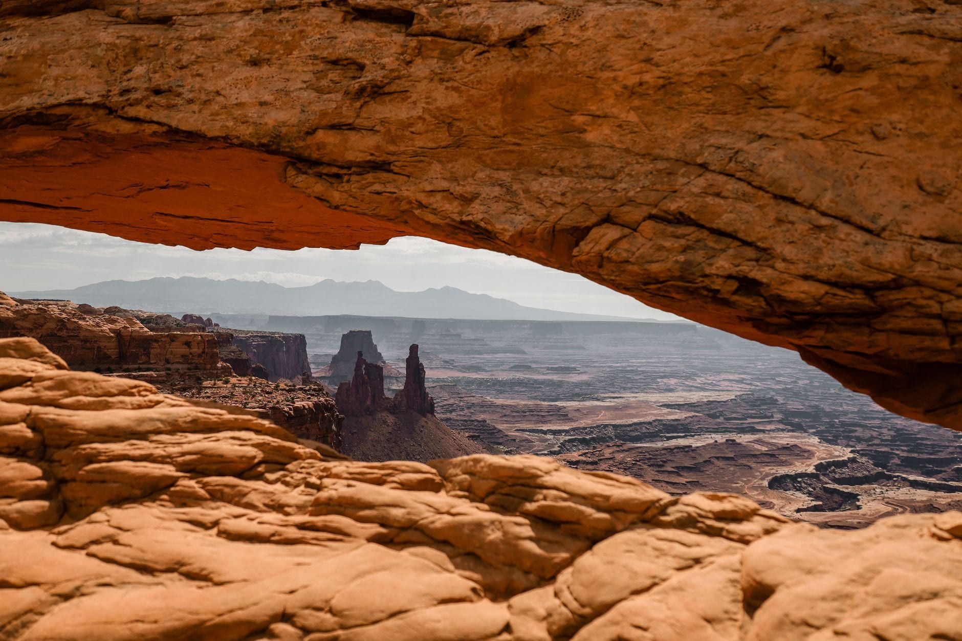
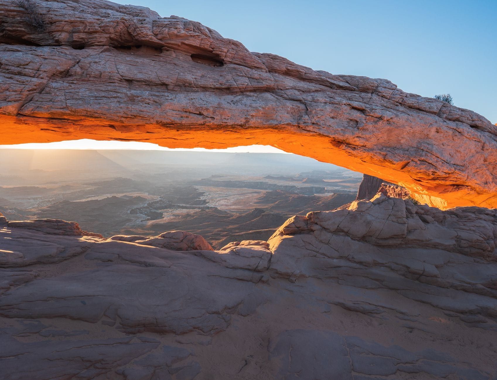
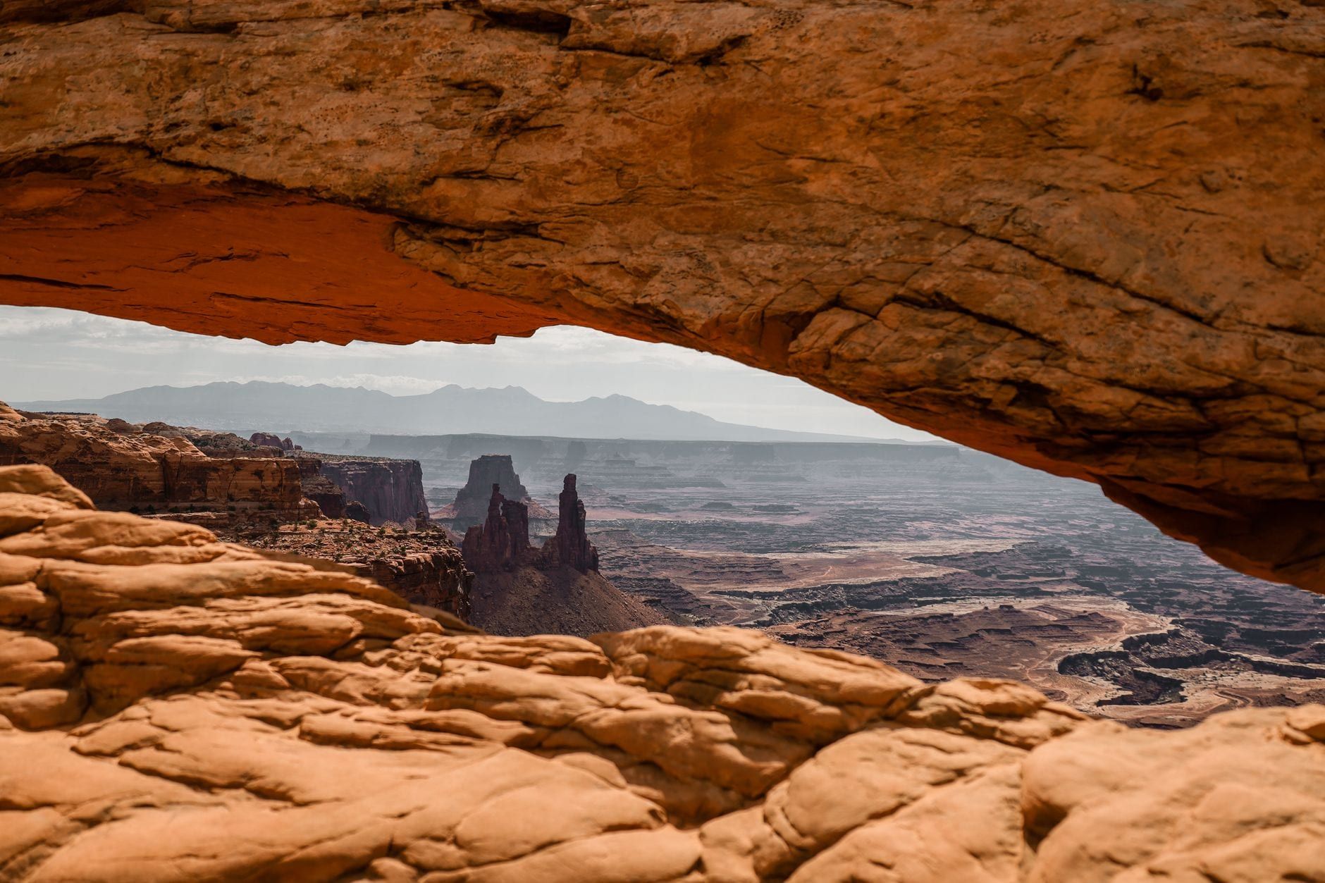
Mesa Arch is a 0.5-mile loop, a ten-minute drive from the Island in the Sky Visitor Center, and about 30 minutes of your morning. The arch is a thin blade of sandstone perched right on the cliff edge, and for a few minutes after sunrise the first light passes beneath it and sets the underside glowing orange, with canyons falling away behind the frame. That glow, reflected onto the rock, is the photograph everyone comes for.
Arrival time decides whether you get the shot. In winter, 45 minutes to an hour before sunrise is generally enough. In spring and fall, plan on about two hours for a front-row spot at the rail, and up to three at the busiest stretch — crowds peak April through June and September through October. November through March is quietest, though mornings drop below freezing.
Late risers still win something. The glow persists up to an hour after sunrise, by which point most photographers have packed up and left. You'll share the arch with a handful of people instead of a crowd, and the light on the canyons below is nearly as good. The parking lot is small and fills early regardless of season.
Etiquette at the rim matters because the viewing area is cramped: take your frames, then step back and let others in. And if you'd rather skip the crowd entirely, the White Rim Overlook — a 1.8-mile, nearly flat walk covered below — gets almost nobody at sunrise or sunset.
Island in the Sky: Overlooks & Short Hikes Worth Your Time
Everything worth stopping for in Island in the Sky sits along one paved scenic drive, ordered below from the southern tip back toward the entrance — the direction you'd actually drive it. Distances are round trip. For a deeper treatment, see our full Island in the Sky guide.
Grand View Point Overlook & Trail
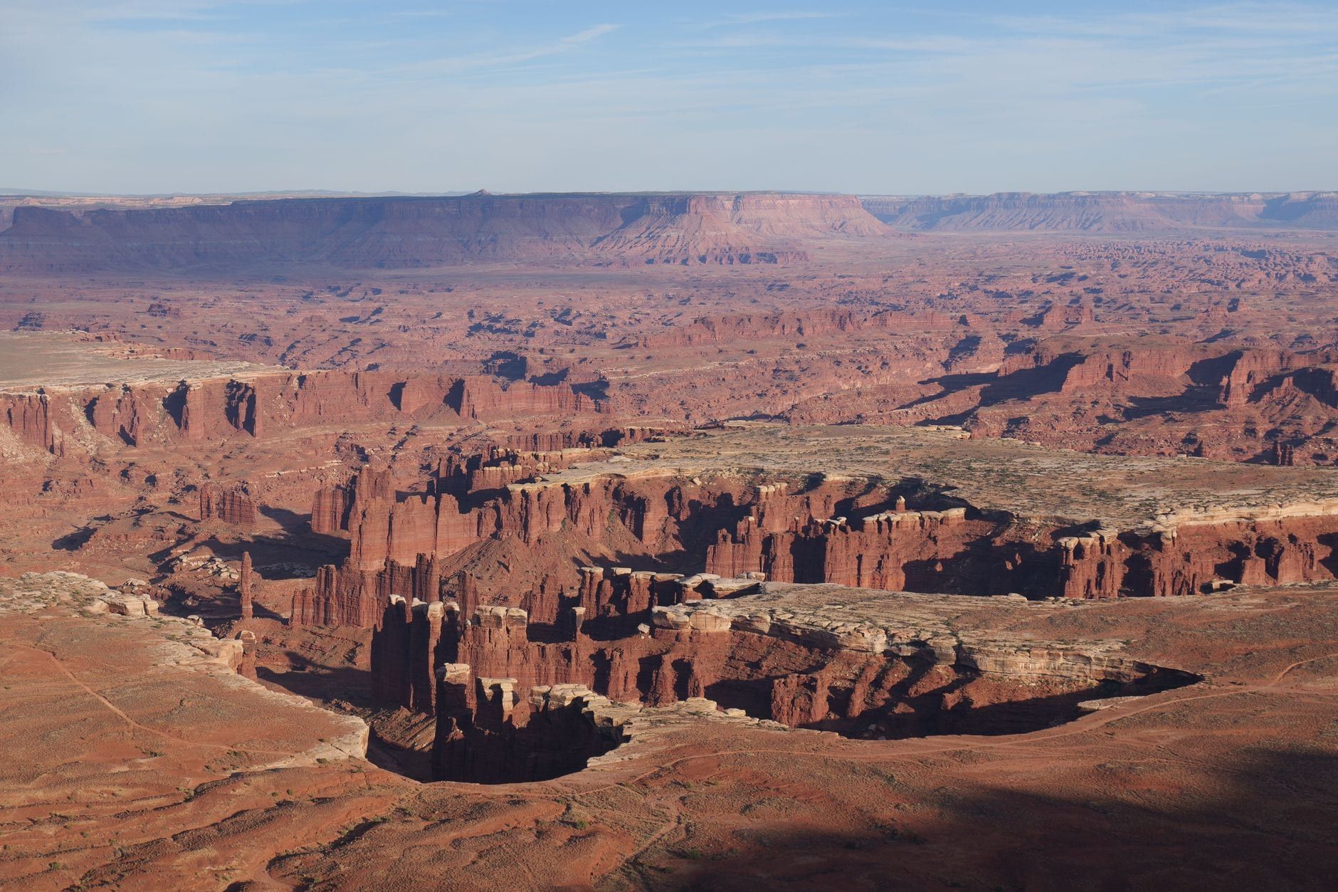
Grand View Point is the park's signature panorama, and you can have it in 15 minutes from the parking area via a paved sidewalk — one of three ADA-accessible overlooks in the district. Walk the full 2-mile round trip along the mesa's southern tip and you'll pass a second viewpoint while Monument Basin corrugates away below, with the White Rim Road, the Maze, and the Needles all visible. Budget up to 1.5 hours for the walk. Rangers give geology talks here spring through fall. Our Grand View Point trail guide covers the full route.
White Rim Overlook vs. Gooseberry Trail
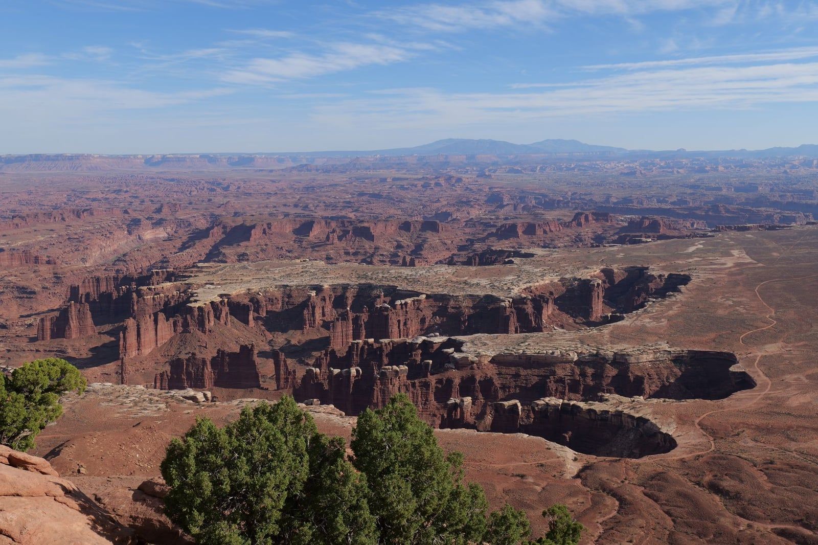
These two share a small lot and almost nothing else. White Rim Overlook is 1.8 miles round trip and nearly flat, ending at a viewpoint hanging above the White Rim bench — an easy, quiet walk that works at sunrise or sunset. Gooseberry is 5.4 miles round trip and the steepest hike on the mesa, dropping off the rim toward the river; allow 3–5 hours and carry real water. Hikers: Gooseberry. Everyone else: the overlook.
The Drive-Up Overlooks: Buck Canyon, Green River, Shafer Canyon
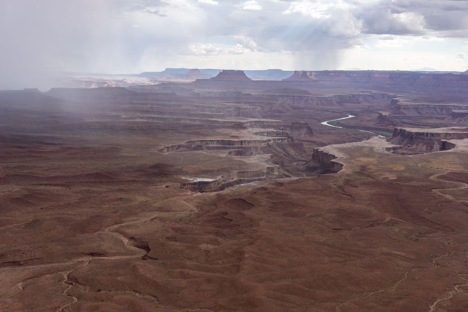
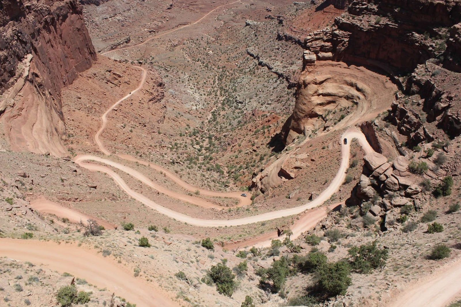
Buck Canyon is a quick pullout over a deep slice of the Colorado's work, wheelchair-accessible and worth ten minutes. Green River Overlook, also ADA-accessible, looks out over the Green River's entrenched meanders and Soda Springs Basin toward the Maze — it's widely considered the best sunset viewpoint in the park. Shafer Canyon Overlook, near the entrance, looks straight down on the Shafer Trail's switchbacks, which descend more than 1,500 feet down the sandstone cliff. The viewpoint beside the visitor center gives a similar drop with zero extra driving.
Upheaval Dome
Upheaval Dome is a bull's-eye crater of shattered rock that geologists still argue about — a collapsed salt dome and a meteorite impact are the two live hypotheses, and the trailside exhibits lay out the case for each. The first overlook is a steep 0.6-mile walk (about 30 minutes); the second overlook adds a mile and a better angle into the dome. Pick a clear day, because the whole point is reading the rock.
Aztec Butte and Whale Rock
Both sit along Upheaval Dome Road and both involve slickrock scrambling. Aztec Butte is about 2 miles round trip with a steep, exposed finish at two ancestral Puebloan granaries tucked under the rim — the park's best short archaeology walk. Whale Rock is roughly 1 mile round trip (30–60 minutes) up a rounded slickrock dome with 360-degree views over the mesa. Kids tend to love Whale Rock; keep a hand on them near the edges.
Murphy Point
Murphy Point is a flat 3.4-mile round trip to a west-facing rim viewpoint, and it's the mesa's quiet sunset walk — few people make the trip. If Green River Overlook has a crowd at dusk, this is where to be instead.
How to Spend Your Time: Visit Plans by the Hour
The park's own time-based itineraries translate cleanly onto a stop list. Whatever window you have, the crowd logic is the same: Island in the Sky is busiest between 10 a.m. and 4 p.m., so do Mesa Arch first and work the drive south to north while everyone else is still arriving.
| Time you have | The plan |
|---|---|
| 1 hour | Drive to Grand View Point; add Buck Canyon or Shafer Canyon Overlook on the way back. |
| 2 hours | Add Green River Overlook and the 0.5-mile Mesa Arch loop. |
| Half a day | Add a mesa-top trail such as Whale Rock or Upheaval Dome. |
| Full day | Longer hikes (Syncline Loop, Murphy Loop) or a White Rim Road out-and-back with 4WD and a permit. |
A full day runs best in this order: Mesa Arch at sunrise, Grand View Point, White Rim Overlook, the drive-up overlooks on the return, then Upheaval Dome, Aztec Butte or Whale Rock, and Shafer Canyon last on the way out. In summer, keep any hiking to before 10 a.m. and after 5 p.m. — the July average high is 100°F.
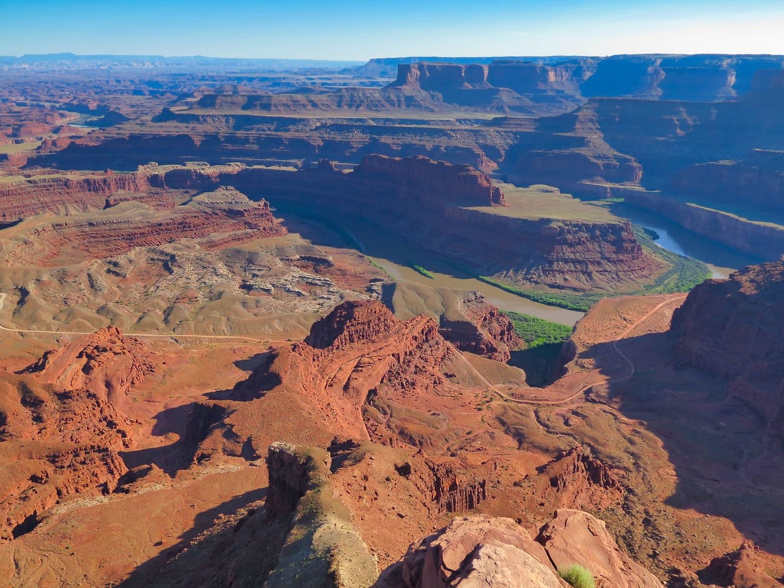
One add-on earns its fee: Dead Horse Point State Park sits on UT 313, the same road you'll drive home on, and charges $20 per vehicle. The Colorado River loops 2,000 feet below its overlook, and it's a deservedly famous sunset stop. Time your Canyonlands exit to catch it on the way back to Moab.
The Needles: Sandstone Spires & the Park's Best Day Hike
The Needles district starts about 1.5 hours from Moab, south on US 191 through Monticello and west on UT 211. Fuel up before leaving the highway — services are sparse, and inside the park a 13-mile round-trip paved drive serves the trailheads and campground. The distance is the reason it feels empty: most Moab visitors never make the drive. Our complete guide to the Needles covers camping and logistics in full.
Chesler Park Loop and the Joint Trail
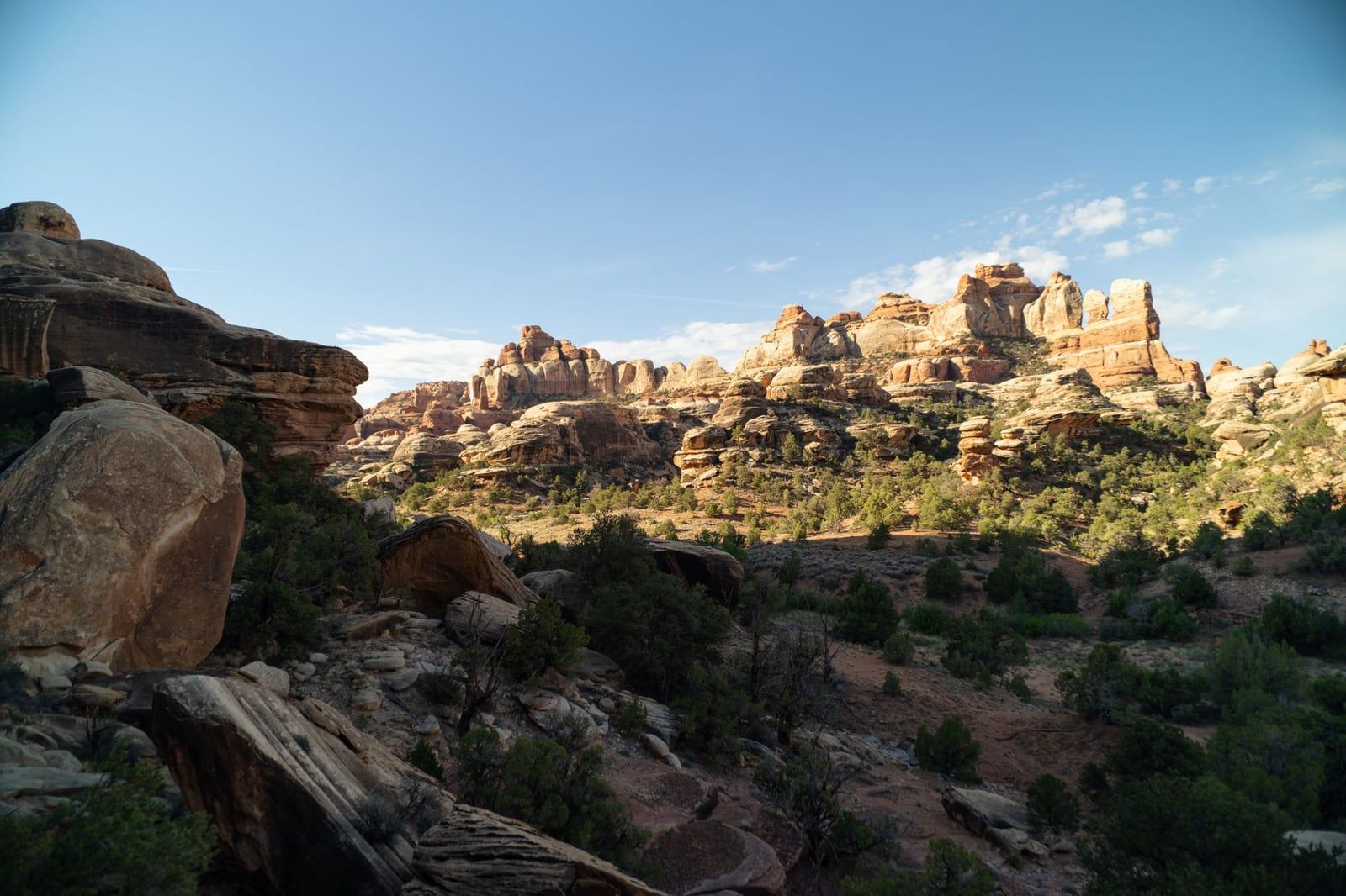
The Chesler Park Loop, combined with the Joint Trail, is about 10.7 miles from the Elephant Hill trailhead and is the best day hike in the park. It crosses open slickrock, drops into the joint-slot canyons that split the spires, and pops out into Chesler Park, a grassy basin ringed by striped needles. Allow the whole day and carry more water than feels reasonable. Note that Elephant Hill itself is a four-wheel-drive road, though the trailhead is reachable on the paved drive.
The Short Walks
Three short trails make a Needles day trip work for non-hikers and families. The Slickrock Foot Trail is 2.7 miles over open rock with marked viewpoints across the spires. Cave Spring is 0.6 miles with climbable ladders and preserved artifacts from the area's ranching era. Pothole Point is 0.6 miles and kid-friendly, touring slickrock pockets that fill with life after rain. Stack any two between a morning and an afternoon at Chesler overlooks.
Newspaper Rock and Needles Overlook
Two roadside stops bookend the drive. Newspaper Rock sits directly beside UT-211 on the way in — a single rock face dense with hundreds of petroglyphs, worth fifteen unhurried minutes. The Needles Overlook, a separate turnoff from the district itself about an hour and a half from Moab, is the scenic-drive alternative if you can't spare a full Needles day: a drive-up rim viewpoint over the district from the west.
Beyond the Rim: White Rim 4x4, Rafting, Flights & Stargazing
Everything below needs more than a sedan, a permit, or a guide — and together it's where Canyonlands stops being a scenic drive and becomes an expedition. The White Rim Road, the rivers, the air above the park, and one detached canyon of rock art make up the park's wilder half.
White Rim Road
The White Rim Road is a 99-mile loop on the bench of White Rim Sandstone between the mesa top and the rivers. Four-wheel-drive trips usually take 2–3 days, mountain bike trips 3–4, and even a one-day run means 10–12 hours of driving. The vehicle rules are strict and enforced: high-clearance 4WD with low range is mandatory, all-wheel-drive and two-wheel-drive vehicles are not permitted, and ATVs and UTVs are banned even when street legal. A tow for a disabled vehicle can exceed $1,000.
Permits apply to every trip. Day-use permits cost $6 per vehicle when reserved on Recreation.gov at 8 a.m. mountain time the day before, and are free if picked up at a visitor center the day of the trip. Overnight permits cost more ($36 reservation fee plus $5 per person per night) and sell out for spring and fall. No 4WD of your own? Book one of the guided Canyonlands tours that run the road from Moab — you get the below-the-rim experience and someone else does the driving.
Rafting the Green and Colorado
The Rivers district is really only visitable by boat. Options run from half-day flatwater floats on the Green or Colorado near Moab to multi-day whitewater trips through Cataract Canyon, where the two rivers meet and the gradient drops hard. The NPS publishes a list of authorized outfitters for guided water, 4WD, and bike trips — use it, since permits for river trips are required either way.
Scenic Flights and Balloons
Small-plane scenic flights over Canyonlands and Arches operate out of Moab and are the only way to grasp the scale of the confluence in an afternoon. Hot air balloon flights run early mornings, last 45 minutes to an hour and a quarter, and fly only when the weather cooperates — book with flexibility in mind.
Horseshoe Canyon and the Great Gallery
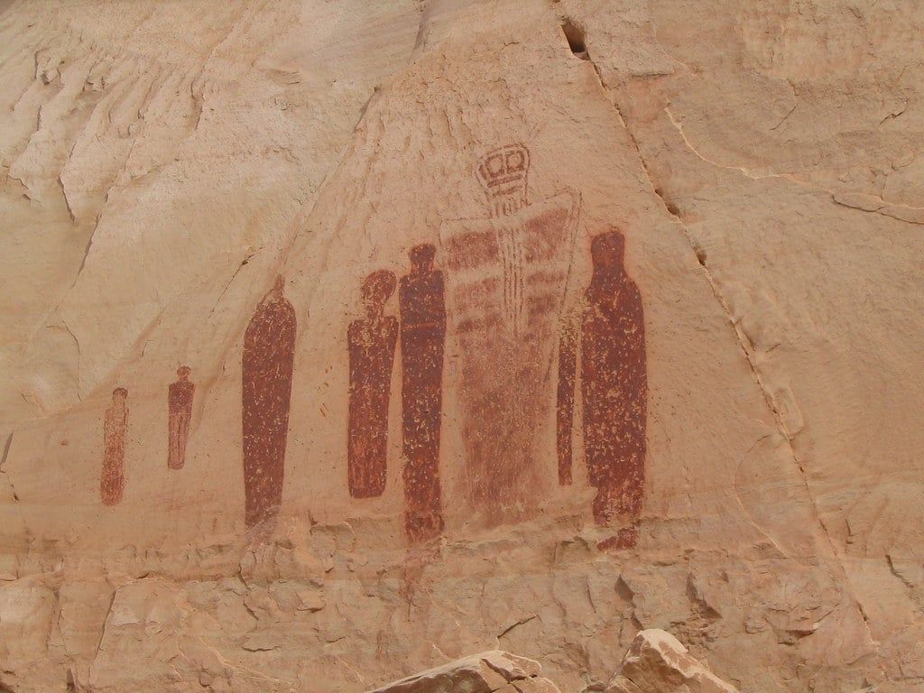
Horseshoe Canyon is a detached unit of the park, reached by about 30 miles of dirt road off UT-24, and it holds the Great Gallery — life-sized Barrier Canyon pictographs painted roughly 2000 BCE to 500 CE, among the most significant rock art panels in North America. The hike is 7 miles round trip with a steep 780-foot descent at the start and takes five hours or more. There's no water anywhere out there, and NPS flags the canyon as dangerously hot June through August — start at dawn or after 4 p.m., and check the road conditions page before driving in.
Stargazing
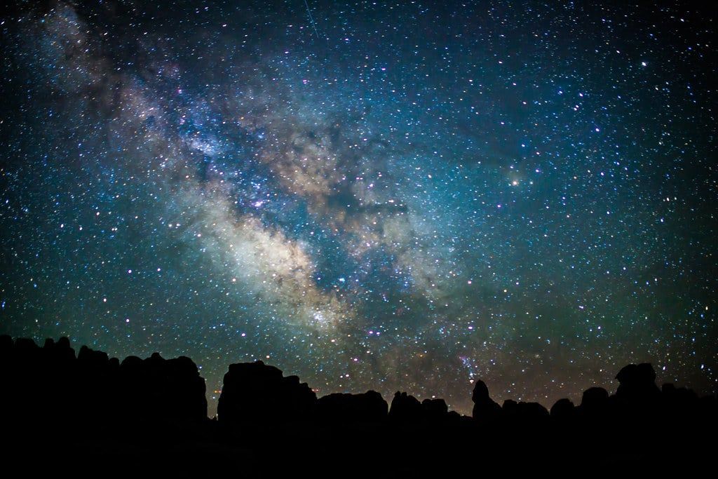
The park never closes, and with few cities anywhere nearby, its night skies are about as dark as the lower 48 gets. Rangers run programs daily spring through fall. Two rules for night photographers: no artificial light on the landscape or rock formations, and no drones anywhere in the park.
Planning Your Visit: Fees, Seasons & Logistics
Entry costs $30 per private vehicle, valid 7 days and covering everyone in the car; motorcycles pay $25, walkers and cyclists $15, and kids 15 and under are free. The $55 Southeast Utah annual pass also covers Arches, Natural Bridges, and Hovenweep — the better buy if Moab's two parks are both on your list. Entrance stations take credit and debit only. No timed-entry reservation is required, at any time of year.
April through May and mid-September through October bring daytime highs of 60–80°F and the best hiking weather — and the biggest crowds, with both campgrounds filling early in the morning. July and August average 100°F highs and add monsoon flash-flood risk from July thunderstorms. Winter days run 30–50°F with lows of 0–20°F, and even light snow can close trails and unpaved roads. Our best time to visit Canyonlands guide breaks the seasons down month by month.
Know before you go: there are no restaurants, gas stations, or lodges anywhere in the park. Drinking water is available at the visitor centers, and The Needles Campground has running water, but no trail has potable water — carry up to 4 liters per person per day in summer. Cell coverage is unreliable to nonexistent, including the entire river corridor. Pack food, water, and offline maps, and don't trust GPS for the drive in; NPS recommends a paper map because navigation systems sometimes send drivers the wrong way.
Dogs are welcome almost nowhere: leashed pets are allowed only in campgrounds, on paved roads and parking lots, and on the Potash/Shafer Canyon road — never on trails, at overlooks, or in the backcountry, even inside a vehicle. Accessibility is strongest at Island in the Sky, where Grand View Point, Green River, and Buck Canyon overlooks are wheelchair-accessible along with the visitor center; no backcountry trail is adapted.
Camping runs $15 a night at Island in the Sky's Willow Flat (12 first-come, first-served sites, toilets and fire pits but no water) and $20 at The Needles (26 sites, running water, some reservable on Recreation.gov). Both fill by mid-morning in spring and fall. Otherwise, base in Moab — it has all services and sits 40 minutes from Island in the Sky. The Island in the Sky Visitor Center is open year-round with reduced winter hours; the Needles Visitor Center closes for winter, reopening in February.
FAQs: Canyonlands Questions, Answered
How many days do you need in Canyonlands National Park?
Half a day to one full day covers Island in the Sky's highlights. Add a second day for The Needles if you hike. The Maze needs 3 or more days plus a 4x4 and full self-sufficiency. The NPS publishes official plans from 1 hour (Grand View Point) up to multi-day backcountry itineraries.
Is Canyonlands worth visiting if I've already seen Arches?
Yes. Canyonlands gets far fewer visitors, requires no timed-entry reservation, and delivers vast river-carved vistas rather than arch close-ups. The two parks work as complements — most travelers who see both are glad they did.
Do I need a reservation or timed entry for Canyonlands?
No timed entry is required. Entry is $30 per vehicle (7 days), $25 per motorcycle, or $15 per person on foot or bike. The $55 Southeast Utah annual pass also covers Arches, Natural Bridges, and Hovenweep. Reservations only matter for backcountry permits, some 4WD day-use roads, and group campsites.
What time should I arrive for the Mesa Arch sunrise?
In winter, 45–60 minutes before sunrise is usually enough. In spring and fall, plan on about 2 hours for a spot at the rail; at peak season, up to 3. The glow lasts roughly an hour after sunrise, so latecomers still see color with far fewer people.
Can I visit Canyonlands and Arches in one day?
It's possible but it's a big day: Mesa Arch and two or three Island in the Sky overlooks in the early morning, then Arches in the afternoon. Since more than one Canyonlands district per day isn't practical, a two-park day means settling for Canyonlands' highlights only.
Can you drive the White Rim Road in one day?
Yes, with a day-use permit and a high-clearance 4WD with low range — but it's a 10–12 hour day on the 99-mile loop. Most trips take 2–3 days with an overnight permit, and those sell out for spring and fall. Towing a disabled vehicle can cost over $1,000.
Are dogs allowed in Canyonlands National Park?
Barely. Leashed dogs are permitted only in campgrounds, on paved roads and parking lots, and on the Potash/Shafer Canyon road. They're banned from all trails, overlooks, and the backcountry — including inside vehicles on backcountry roads.
Is there food, water, and cell service inside the park?
No food or lodging exists in the park, water is only available at the visitor centers, and cell service is unreliable to nonexistent. Pack everything you'll eat and drink — up to 4 liters of water per person per day in summer — and download offline maps before entering.
Sources
- nps.gov/cany/planyourvisit/things2do.htm
- nps.gov/cany/planyourvisit/fees.htm
- nps.gov/cany/planyourvisit/itineraries.htm
- nps.gov/cany/planyourvisit/whiterimroad.htm
- nps.gov/cany/planyourvisit/placestogo.htm
- nps.gov/cany/planyourvisit/horseshoecanyon.htm
- nps.gov/cany/planyourvisit/permitsandreservations.htm
- stateparks.utah.gov/parks/dead-horse-point