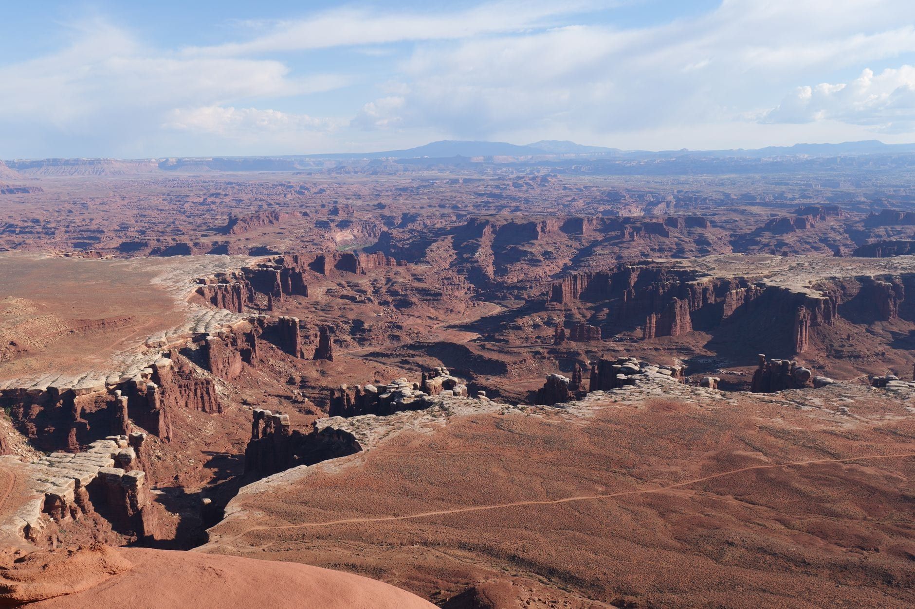
Canyonlands sits 32 miles from Moab — but that number only holds for one of the park's three road entrances. Island in the Sky, the mesa-top district closest to town, is a 40-minute drive on a single paved road. The Needles is 74 miles south. The Maze is 162 miles away at the end of dirt tracks that swallow afternoons and eat 4WD tires.
So the route you pick decides your whole day. This guide covers the drive turn-by-turn, the fees and hours, every stop worth making between downtown and the end of the pavement, and a one-day plan that still gets you back to Moab for dinner.
Moab to Canyonlands at a Glance
Three districts, three entrances, zero roads between them. The Green and Colorado rivers carved the park into sections that meet only at the confluence deep below the rim, so "Canyonlands" is really a decision you make before leaving Moab. Here are the numbers.
| District | Distance from Moab | Drive time | Road |
|---|---|---|---|
| Island in the Sky | 32 mi (51.5 km) | About 40 min | Paved (US-191 N + UT-313) |
| The Needles | 74 mi (119 km) | About 1.5 hr | Paved (US-191 S + UT-211) |
| The Maze | 162 mi (260 km) | 3–6 hr | Unpaved, high-clearance 4WD |
Entry costs $30 per private vehicle for a 7-day pass, $25 per motorcycle, or $15 per person on foot or bike; kids 15 and under are free. Entrance stations take credit and debit only, no cash. A $55 Southeast Utah annual pass covers Canyonlands, Arches, Natural Bridges, and Hovenweep — usually the better buy over the $80 America the Beautiful pass if Moab is your base. Full details are on our hours and entry fees page.
Canyonlands never closes. Gates are open 24 hours a day, year-round, and timed-entry reservations don't exist here — a real difference from Arches up the road, which has run a seasonal timed-entry system (see our Arches vs Canyonlands comparison if you're doing both). The quick recommendation: with a half day, drive Island in the Sky. With a full day and a taste for hiking, the Needles earns the longer drive.
Driving From Moab to Island in the Sky: The Route
From downtown Moab, head north on US-191 for about 11 miles — roughly 14 minutes — to the junction signed for Canyonlands and Dead Horse Point, at the Moab Giants dinosaur museum. Turn left onto UT-313 and stay on it 22 miles as it climbs onto the mesa. The entrance station and visitor center sit where the road levels out. Door to door, 40 minutes.
UT-313 is smooth, paved two-lane the whole way, fine for any car. What it doesn't have is services: no gas, no food, nothing after you leave US-191. The NPS also warns drivers not to trust GPS for this drive — navigation units have sent people the wrong way, so use a map or downloaded directions. Inside the park, the paved scenic drive runs 23.6 miles from US-191 to Grand View Point; the full round trip from Moab, with brief stops, is about 60 miles and 2–3 hours.
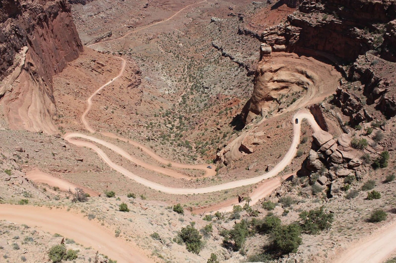
One caveat for the 4WD-curious. The switchbacks you'll stare at from Shafer Canyon Overlook are the Shafer Trail, a side road dropping 1,500 feet off the mesa to the White Rim bench below. High-clearance 4WD is strongly recommended, and you can check conditions at 435-259-4351. It's a dramatic side trip, not the way in — the paved road above it is how nearly everyone arrives.
The Other Entrances: Getting to the Needles and the Maze from Moab
The most common misconception about Canyonlands is that it has one entrance. It has three, and no bridges connect them — Island in the Sky to the Needles means backtracking through Moab, about 2.5 hours of driving. Plan on one district per day.
The Needles is the hiker's district: striped sandstone spires, slot canyons, and hundreds of miles of trail. From Moab, take US-191 south toward Monticello, then turn west on UT-211 — 74 miles, about an hour and a half, with limited services once you leave the highway. Inside, a 13-mile round-trip scenic drive serves four short nature trails and the campground. Our Needles guide covers the hikes; note that some of the best ones sit down 4WD roads like Elephant Hill.
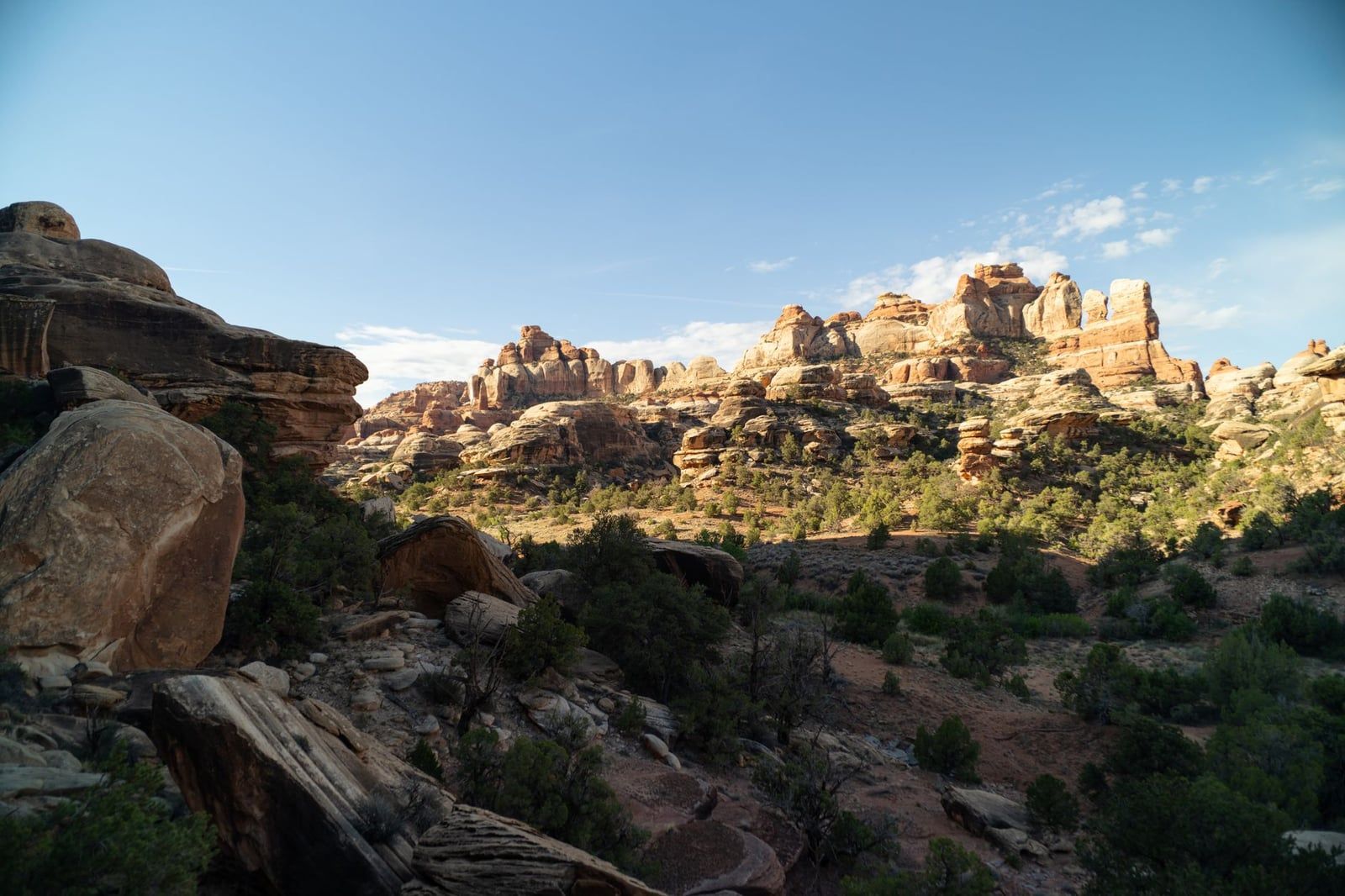
A day-use permit applies to four-wheel-drive, motorcycle, and bicycle travel on the White Rim Road (Island in the Sky) and the Elephant Hill, Lavender Canyon, and Peekaboo/Horse Canyon roads (the Needles). Reserve on Recreation.gov at 8 a.m. mountain time the day before for $6, or pick one up free at a visitor center the day of. Entrance fees still apply either way.
The Maze is a different sport. It's roughly 162 miles from Moab on graded dirt and high-clearance 4WD roads that turn impassable when wet, and the drive alone runs 3–6 hours. Guides there budget up to a week. Day-tripping it from Moab is not a thing people do twice; if the Maze calls to you, plan it as its own trip. The White Rim Road, by contrast, is reachable from Island in the Sky: a 99-mile loop around the bench below the mesa, three to four days by mountain bike or 4WD in low range, permit required — and towing a disabled vehicle off it costs more than $1,000.
Mile-by-Mile: Stops Along UT-313 Between Moab and Canyonlands
The markers below start at downtown Moab and run to the end of the pavement at Grand View Point, mile 44.5. Drive out with this list and you'll never wonder whether a pullout is worth the stop.
Mile 11.2: Moab Giants
A dinosaur park and museum right at the UT-313 junction, and the one stop on the drive built for kids. Budget an hour if the children are into it; otherwise just use the building as your landmark for the turn.
Mile 15.5: Monitor and Merrimac Buttes
A quick roadside pullout facing two flat-topped buttes. Five minutes and a photo — a warm-up for what's ahead.
Mile 25.6: The Dead Horse Point Turnoff
The signed left turn leads into Dead Horse Point State Park, covered in full below. Most visitors skip it on the way in and save it for sunset on the drive home.
Mile 32.4: Island in the Sky Visitor Center
Pay your fee, grab a map, use the restroom, and fill water bottles (available spring through fall). Shafer Canyon Overlook follows at mile 33.3 — your first look over the rim, with the Shafer Trail switchbacks coiling below and the White Rim bench stretching beyond.
Mile 38.5: Mesa Arch and Green River Overlook
The Mesa Arch trailhead sits on the main road, with the Green River Overlook turnoff almost directly opposite at mile 38.7. You'll be back to both — they anchor any day in the district.
Mile 44.5: Grand View Point
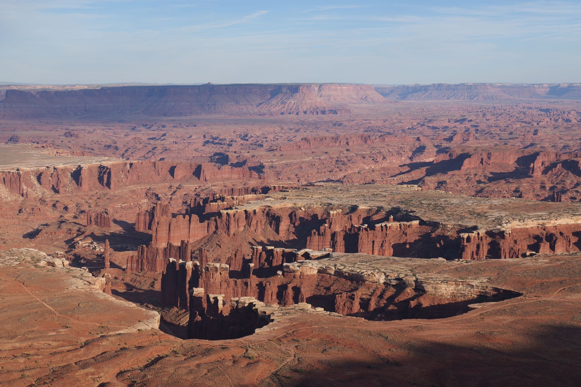
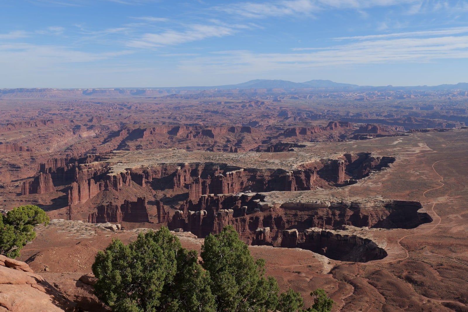
Where the pavement ends. A paved sidewalk runs out to the viewpoint, and another mile of rim trail reaches a second one. From the rail you can trace the White Rim Road, pick out the Needles to the southeast, and spot features deep in the Maze — the whole park in one stare. Our Grand View Point guide breaks down the overlook and the trail.
One Perfect Day in Island in the Sky (With Timings)
A full day in Island in the Sky runs 6–7 hours from Moab including hikes, and it scales down cleanly to a half day or a 2-hour drive-through. The sequence below works far-end-first so you never double back, with the best light saved for the views that deserve it. Our Island in the Sky guide goes deeper on every stop.
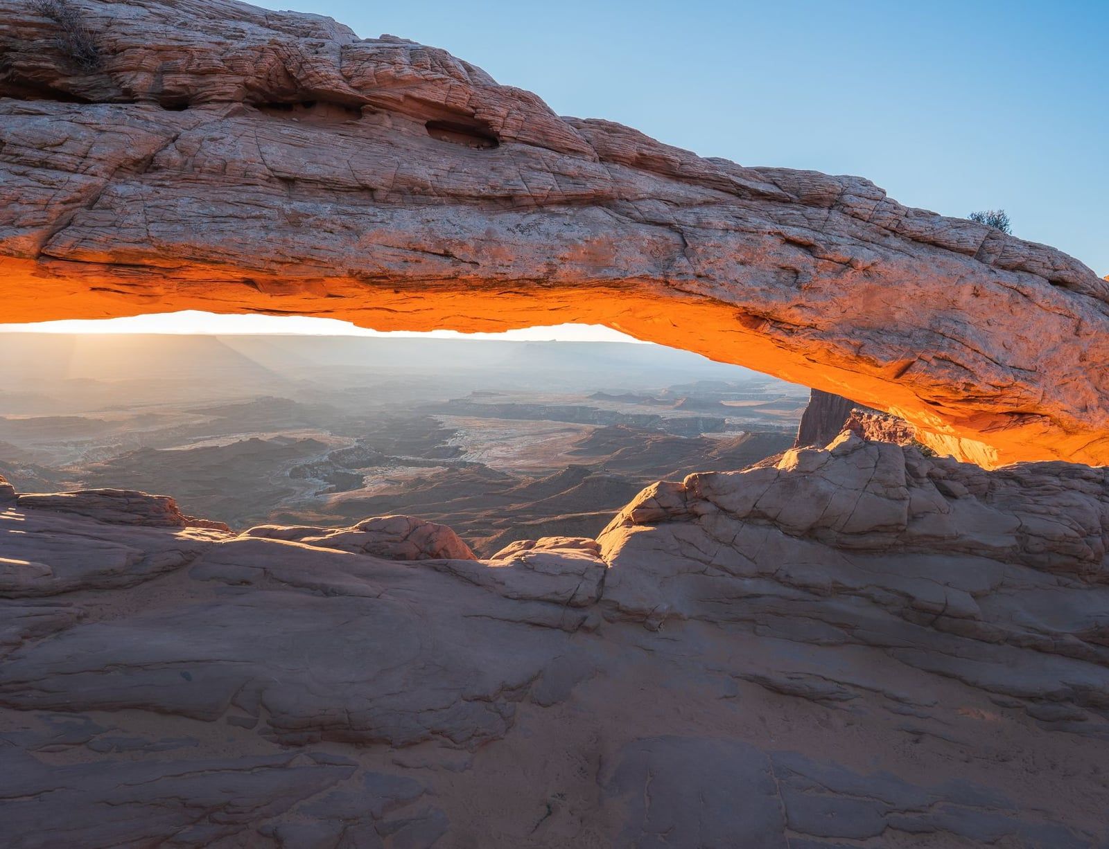
Sunrise: Mesa Arch (0.5 miles)
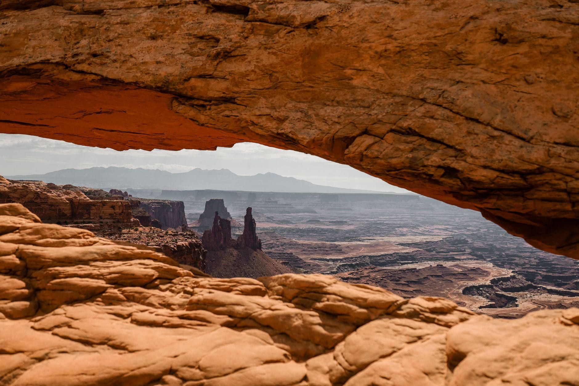
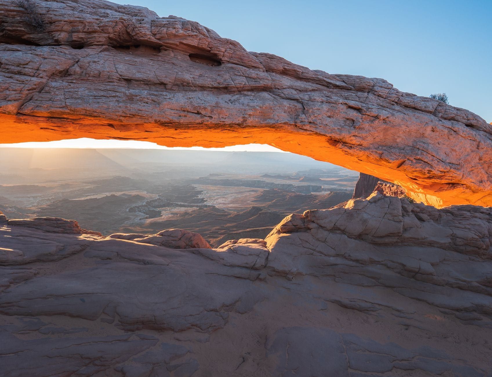
Mesa Arch is possibly the most famous sunrise spot in Utah — at first light the underside of the arch glows orange over the canyon below. The loop is 0.5 miles and takes about 30 minutes, but arrive 45 minutes before sunrise in peak season or you'll share the frame with a wall of tripods. Then eat what you packed, because there's no food in the park.
Morning: Grand View Point and White Rim Overlook
Drive straight to Grand View Point while the light is still low and walk the rim. On the way back north, take the White Rim Overlook trail — 1.8 miles round trip, 160 feet of gain, rated easy — out to a narrow point above the river country. This is your picnic spot.
Afternoon: Aztec Butte, Green River Overlook, Upheaval Dome
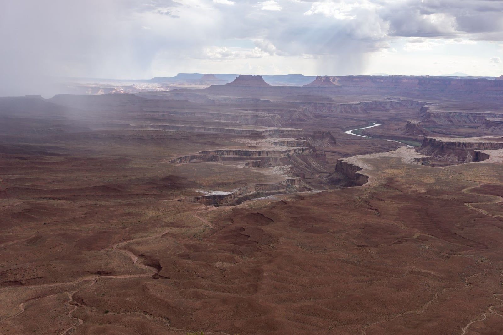
Aztec Butte is 1.7 miles round trip, moderate, with a slickrock scramble up to ancestral Puebloan granaries tucked under the rim — some of the district's best-preserved structures. Green River Overlook is a short paved walk to views of the river's entrenched meanders; bring anyone who doesn't hike. Upheaval Dome, at the end of its own spur road, is a steep 0.6-mile climb to a view into a bull's-eye crater whose origin scientists still debate — meteorite impact or collapsed salt dome. A second overlook adds a mile.
Short on time? The drive itself, with brief stops at overlooks, takes 2–3 hours.
- 2–3 hours: the scenic drive and overlook stops, straight back to Moab.
- Half day: add the Mesa Arch loop and the Grand View Point rim walk.
- Full day: three or four trails, plus Dead Horse Point for sunset.
Midday sun flattens the canyons into a brown haze; early morning and late afternoon pull the reds and shadows back out of the rock. If you're stuck with harsh midday light, favor Upheaval Dome and Aztec Butte, which hold up better than the long views.
Dead Horse Point State Park: The Detour Worth Making
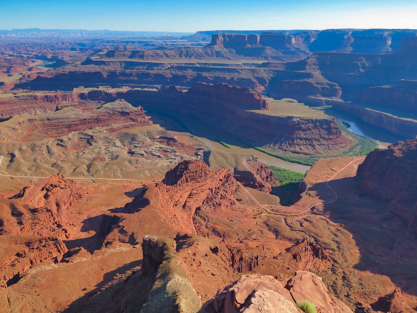
Everyone driving UT-313 passes the turnoff, and the park on the other side of it sits atop the same mesa as Island in the Sky. From the point, the Colorado River winds in goosenecks 2,000 feet below — a view ranked among the most photographed in the country, and one the Island in the Sky road never gives you.
It's a 22-minute drive from the Island in the Sky visitor center and about 40 minutes from Moab, with its own entrance fee: $20 per vehicle, $10 per motorcycle, separate from any national park pass. Hours run 6 a.m. to 10 p.m. year-round, and it's an International Dark Sky Park.
Sunset is the classic time to be there, and the campground books up months ahead. The easy fit: do your Canyonlands day first, exit the park in late afternoon, and watch the sun drop from Dead Horse Point — it's on your way home anyway. Budget an extra 90 minutes and you skip nothing.
What to Know Before You Drive Out
There is no food, fuel, or lodging anywhere in Canyonlands. Drinking water is available at the Island in the Sky visitor center spring through fall, and that's it — fill the tank, pack lunch, and bring more water than you think you need. Cell coverage fades fast off US-191; pay phones exist at the Island in the Sky and Needles visitor centers, and nowhere in the Maze.
Overlook trails run close to unfenced drop-offs of more than 1,000 feet, and wind gusts at the rim arrive without warning. Keep a hand on small children and skip the photo at the edge. Also underfoot: that dark, lumpy soil beside the trails is living biocrust — colonies of cyanobacteria that hold the desert together and take decades to recover from a footprint. Stay on designated roads and trails.
Driving something big? Vehicles over 25 feet in total length can park at only four spots inside Island in the Sky: the visitor center, Shafer Canyon Overlook, Grand View Point, and Green River Overlook. Plan your stops around those four, or drop the trailer in Moab.
Because the park never closes and its skies rank among the darkest in North America, staying past sunset pays off. Stargazing from Grand View Point or Green River Overlook needs no permit and no planning, just headlights for the drive back. Two rules worth knowing: no drones anywhere in the park, and no artificial light on the landscape for night photography.
Getting to Canyonlands From Moab Without a Car
There is no public transportation to Canyonlands — no shuttle, no bus, and ride-share drivers don't idle 30 miles from town. You either drive yourself or go guided.
Getting to Moab first is the usual play for car-free travelers. Canyonlands Field Airport (CNY) is 16 miles from town; Grand Junction Regional (GJT) is 113 miles (about 2 hours) and Salt Lake City International (SLC) 237 miles (about 4 hours), both with rental cars. Greyhound and Amtrak stop at Grand Junction and Green River, and commercial vans run between Moab and both Salt Lake City and Grand Junction. Our directions guide has the full rundown.
Once you're in Moab without wheels, guided tours are the workaround — and they're good ones. Outfitters run 4x4 and Hummer trips into Island in the Sky's backcountry, multi-day Colorado River expeditions through Cataract Canyon with rapids up to Class V, and roughly hour-long air tours that put all three districts, including the roadless Maze, under you in a single flight. Compare airplane tours if seeing the rivers' confluence matters more to you than standing at one overlook.
FAQs: Moab to Canyonlands
How far is Canyonlands from Moab?
Island in the Sky is 32 miles (about 40 minutes). The Needles is 74 miles (1.5–2 hours), and the Maze is roughly 162 miles, 3–6 hours on unpaved 4WD roads.
Which entrance to Canyonlands should I visit from Moab?
Island in the Sky. It's the closest district on a fully paved road, and its scenic drive covers Shafer Canyon Overlook, Mesa Arch, Green River Overlook, and Grand View Point in a half day.
Do I need a reservation or timed entry for Canyonlands?
No. Canyonlands doesn't use timed entry and is open 24/7. Permits are only needed for backcountry overnights, certain 4WD roads, and river trips. Neighboring Arches has run a separate seasonal timed-entry system, so check that park if you're combining the two.
How long does it take to drive from Moab to Canyonlands?
About 40 minutes to the Island in the Sky visitor center. Budget 2–3 hours for the scenic drive with stops, or 6–7 hours for a full day including hikes.
Is the road to Canyonlands paved? Do I need 4WD?
UT-313 to Island in the Sky is fully paved — any car works. High-clearance 4WD is needed for the Maze, the Shafer Trail, and the White Rim Road, which also requires a day-use permit, as do several Needles roads.
Can you get to Canyonlands from Moab without a car?
Not on your own — there's no public transit to the park. Guided 4x4, river, and air tours depart from Moab, and the town itself is reachable by air via Canyonlands Field (16 miles away), by shuttle from Salt Lake City or Grand Junction, or by Greyhound/Amtrak to Grand Junction or Green River.
What should I bring when driving from Moab to Canyonlands?
A full gas tank, food, and water. Nothing is sold inside the park, and there's no fuel or lodging; drinking water is available at the Island in the Sky visitor center.
Sources
- nps.gov/cany/planyourvisit/directions.htm
- nps.gov/cany/planyourvisit/fees.htm
- nps.gov/cany/planyourvisit/basicinfo.htm
- nps.gov/cany/planyourvisit/permitsandreservations.htm
- nps.gov/cany/planyourvisit/whiterimroad.htm
- discovermoab.com/places-to-go/national-parks/canyonlands-national-park
- stateparks.utah.gov/parks/dead-horse-point